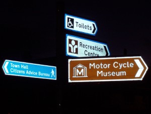
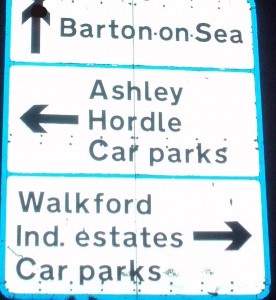
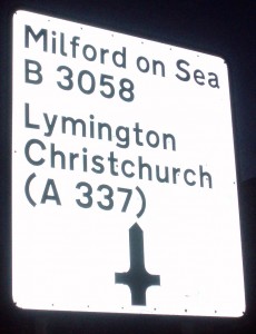
I have been thinking about maps but don’t see a way of using them in my work. So I got thinking and you use maps to find your way when you get lost. The Ordnance Survey maps are excellent and they plot the surroundings on as well ie forest and rivers, however no matter how good the maps are you still need place names so you know were you are. So it’s signs as well that help the most, so why not signs for my augmented reality information points. So I went down into New Milton and took some photos of road signs.


